Georgia
- Product
- Qty in Cart
- Quantity
- Price
- Subtotal
-

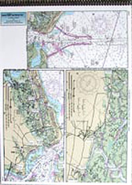
ICW Booklet: St. Simon Sound, GA to Tolomoato River, FL
$18.50ICW 3 page bound booklet, double sided, laminated 13 x 18 inches, Georgia and Florida ICW chart series is a Intra-coastal Waterway guide from St Simons...$18.50 -

Nearshore: Off Coastal Georgia
$18.50Nearshore 20 - 30 miles off. Chart is 19 x 26 inches double sided and laminated. Georgia coastline Side A: Tybee Island to Doboy Sound, side B: Doboy...$18.50 -

Nearshore: Off Coastal South Carolina (Winyah Bay)
$18.50Nearshore 20 - 30 miles off. Chart is 19 x 26 inches, double sided, and laminated. Winyah Bay area, South Carolina. Side A: Little River, NC to Winyah Bay entrance. Side B: Winyah...$18.50 -


ICW Booklet: Casino Creek to Beaufort, SC
$18.50ICW 3 page bound booklet, double sided, laminated 13 x 18 inches, South Carolina ICW Series: Follows the Intra-Coastal Waterway from Casino Creek to Beaufort...$18.50 -

ICW Booklet: Beaufort, SC to St. Simon Sound, GA
$18.50ICW 3 page bound booklet, double sided, laminated 13 x 18 inches, South Carolina and Georgia ICW Series runs the Intra-coastal waterway from Beaufort...$18.50 -

ICW Booklet: Myrtle Grove Sound, NC to Casino Creek, SC
$18.50ICW 3 page bound booklet, double sided, laminated 13 x 18 inches. North Carolina and South Carolina ICW series from Myrtle Grove to Casino Creek, SC. This is a three page flip...$18.50 -

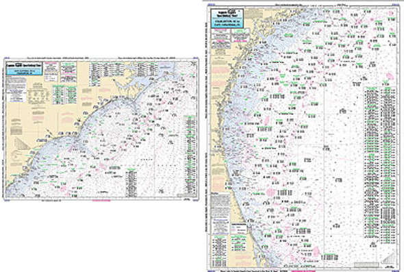
Offshore: Cape Hatteras, NC to Cape Canaveral, FL
$18.50Offshore chart 90 to 100 miles off coast, Double sided, laminated, 19 x 26 inches. North Carolina to Florida Offshore Canyon and Ledge chart, side A:...$18.50