Maryland
- Product
- Qty in Cart
- Quantity
- Price
- Subtotal
-

Small Boat and Kayak: Cape Henry, Lynnhaven Bay to Hampton Roads, VA
$11.95Small Boat/Kayak Inshore fishing chart, double sided, laminated, 12 x 18 inches, Virginia$11.95 -

Inshore: Norfolk, VA to Oregon Inlet, NC
$18.50An inshore chart 1-2 miles off the coast detailing the bays. Chart is 19 x 26 inches, double sided, and laminated. Intra-coastal waterway from VA to NC &n$18.50 -

Small Boat/Kayak: Cape Charles, VA with Fishermans Island
$11.95Small Boat/Kayak Inshore fishing chart, double sided, laminated, 12 x 18 inches, Virginia$11.95 -

Nearshore: Coastal Virginia to North Carolina and Lower Chesapeake Bay
$18.50Nearshore 20 - 30 miles off. Chart is 19 x 26 inches, double sided, and laminated. Virginia and North Carolina coastline.$18.50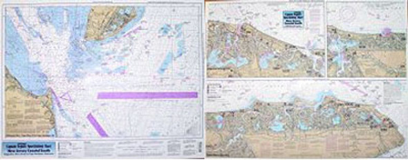
Nearshore/Inshore: South Coast of New Jersey
$18.50An inshore chart, 1-2 miles off the coast, detailing the bays and Nearshore 20 - 30 miles off. Chart is 19 x 26 inches, double sided, and laminated. New Jersey$18.50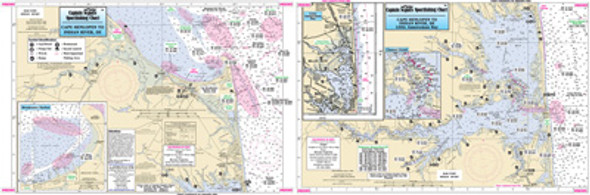
Small Boat/Kayak: Rehoboth Bay and Indian River, DE
$11.95Small Boat/Kayak Inshore fishing chart, double sided, laminated, 12 x 18 inches, Delaware$11.95
Small Boat/Kayak: Chincoteague, Wachapreague and Quinby, VA
$11.95Small Boat/Kayak Inshore fishing chart, double sided, laminated, 12 x 18 inches, Virginia Detailed inshore chart from Chincoteague$11.95
Nearshore: Off Coastal DE, MD, VA
$18.50Nearshore 20 - 30 miles off. Chart is 19 x 26 inches, double sided, and laminated. Virginia, Delaware, and Maryland$18.50
Small Boat/Kayak: Ocean City, DE to Chincoteague Inlet, VA
$11.95Small Boat/Kayak Inshore fishing chart, double sided, laminated, 12 x 18 inches, Delaware & Virginia Detailed inshore ch$11.95
Inshore: Upper Chesapeake Bay
$18.50An inshore chart 1-2 miles off the coast, detailing the bay. Chart is 19 x 26 inches, double sided, and laminated. Upper Chesapeake Bay Side A: extends from the C & D Canal to Sandy...$18.50
Inshore: Middle Chesapeake Bay
$18.50An inshore chart 1-2 miles off the coast detailing the bay. Chart is 19 x 26 inches, double sided, and laminated. Middle Chesapeake Bay$18.50
Offshore: Cape May, NJ to Cape Hatteras, NC
$18.50Offshore chart 90 to 100 miles off coast, Double sided, laminated, 19 x 26 inches. New Jersey to North Carolina$18.50